Archaeology and Geoinformatics
Case Studies from the Caribbean
Edited by Basil A. Reid
University of Alabama Press
Provides tremendous insight and an excellent grasp of the special geoinformatics needs of Caribbean researchers
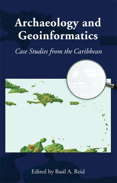
Addressing the use of geoinformatics in Caribbean archaeology, this volume is based on case studies drawn from specific island territories, namely, Barbados, St. John, Puerto Rico, Jamaica, Nevis, St. Eustatius, and Trinidad and Tobago, as well as inter-island interaction and landscape conceptualization in the Caribbean region. Geoinformatics is especially critical within the Caribbean where site destruction is intense due to storm surges, hurricanes, ocean and riverine erosion, urbanization, industrialization, and agriculture, as well as commercial development along the very waterfronts that were home to many prehistoric peoples. By demonstrating that the region is fertile ground for the application of geoinformatics in archaeology, this volume places a well-needed scholarly spotlight on the Caribbean.
Addressing the use of geoinformatics in Caribbean archaeology, this volume is based on case studies drawn from specific island territories, namely, Barbados, St. John, Puerto Rico, Jamaica, Nevis, St. Eustatius, and Trinidad and Tobago, as well as inter-island interaction and landscape conceptualization in the Caribbean region. Geoinformatics is especially critical within the Caribbean where site destruction is intense due to storm surges, hurricanes, ocean and riverine erosion, urbanization, industrialization, and agriculture, as well as commercial development along the very waterfronts that were home to many prehistoric peoples. By demonstrating that the region is fertile ground for the application of geoinformatics in archaeology, this volume places a well-needed scholarly spotlight on the Caribbean.
A great contribution to Caribbean and island archaeology since it covers most of the Caribbean and includes a variety of topics, from purely academic studies on migration and slavery, to more applied approaches where geoinformatics is used for CRM purposes.’ —L. Antonio Curet, The Field Museum
This work is a very useful overview of the current state of the use of GIS and remote sensing technology in the Caribbean that will serve as a benchmark for future studies in the region.’ —Jay K. Johnson, University of Mississippi
Basil A. Reid is a Lecturer in Archaeology at the University of the West Indies, St. Augustine, Trinidad and Tobago.


